|
search place name
|
||
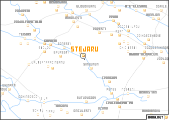
Stejaru (Giurgiu, Romania)Stejaru is a town in the Giurgiu region of Romania. An overview map of the region around Stejaru is displayed below.
regional and 3d topo map of Stejaru, Romania ::
Stejaru airports ::
The nearest airport is BBU - Bucharest Aurel Vlaicu, located 31.3 km north east of Stejaru.
Other airports nearby include OTP - Bucharest Henri Coanda (38.3 km north), GOZ - Gorna Orechovica Gorna Oryahovitsa (123.3 km south), VAR - Varna (190.0 km south east), SBZ - Sibiu (223.9 km north west), Nearby towns ::
Chirculeşti (1.8km north) //
Singureni (2.1km south east) //
Băneşti (4.2km north west) //
Iepureşti (3.9km west) //
Popeşti (6.5km north) //
Cumpăna (5.4km west) //
Crânguri (6.3km south east) //
Costieni (7.5km north) //
Tufa Costieni (7.5km north) //
Mihăileştii de Jos (7.5km north) //
Novaci (7.1km north east) //
Valter Mărăcineanu (6.0km west) //
Gorneni (6.4km north west) //
Pâslari (6.7km north east) //
Mihăileşti (8.7km north) //
Peneş (8.6km south east) //
Asan (7.9km north east) //
Filipescu (7.9km north east) //
Chiţa (7.4km north west) //
Dărăşti-Vlaşca (7.6km north east) //
Pruni (9.9km north east) //
Dumitrana (9.7km north east) //
Călugăreni (10.2km south east) //
[all distances 'as the bird flies' and approximate] 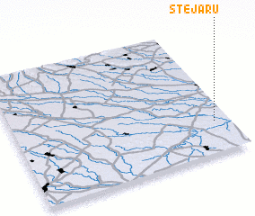 Places with similar names to Stejaru, Romania ::
Disclaimer :: Information on this page comes without warranty of any kind |
||
|
Where is Stejaru? Elevation and coordinates ::
Latitude (lat): 44°15'1"N Longitude (lon): 25°55'48"E
Elevation (approx.): 76m (map arrows pan, magnifying glasses zoom) |
||
|
Visiting Stejaru? Hotel/Accommodation ::
Book a hotel in Stejaru Travel Guide ::
Buy a travel guide for Romania rental cars ::
car rental offers GPS waypoint ::
download a GPX waypoint (PoI) of Stejaru for your GPS receiver
|
||