|
search place name
|
||
Tîrnicioara (Covurlui, Romania)Tîrnicioara is a town in the Covurlui region of Romania. An overview map of the region around Tîrnicioara is displayed below.
regional and 3d topo map of Tîrnicioara, Romania ::

Tîrnicioara airports ::
The nearest airport is SCV - Suceava Stefan Cel Mare, located 54.6 km north east of Tîrnicioara.
Other airports nearby include BCM - Bacau (130.8 km south east), IAS - Iasi (142.4 km east), TGM - Tirgu Mures Vidrasau (146.2 km south west), SBZ - Sibiu (220.6 km south west), Nearby towns ::
Ostra (NaNkm north) //
Negrileasa (4.2km north east) //
Stulpicani (7.4km north) //
[all distances 'as the bird flies' and approximate] 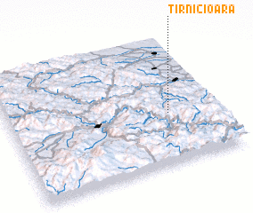 Places with similar names to Tîrnicioara, Romania ::
// Douar Nouasser (MA)
// Tiurinsari (RU)
// Dernişoara (RO)
// Dornişoara (RO)
// Dornişoara (RO)
// Turnişor (RO)
// Darreh Naşīrī (IR)
// Dūrānsar (IR)
// Dari Nāsra (BD)
// Tierno Siré (SN)
Disclaimer :: Information on this page comes without warranty of any kind |
||
|
Where is Tîrnicioara? Elevation and coordinates ::
Latitude (lat): 47°24'0"N Longitude (lon): 25°46'0"E
Elevation (approx.): 779m (map arrows pan, magnifying glasses zoom) |
||
|
Visiting Tîrnicioara? Hotel/Accommodation ::
Book a hotel in Tîrnicioara Travel Guide ::
Buy a travel guide for Romania rental cars ::
car rental offers GPS waypoint ::
download a GPX waypoint (PoI) of Tîrnicioara for your GPS receiver
|
||