|
search place name
|
||
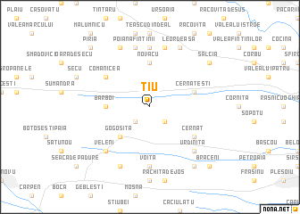
Ţiu (Covurlui, Romania)Ţiu is a town in the Covurlui region of Romania. An overview map of the region around Ţiu is displayed below.
regional and 3d topo map of Ţiu, Romania ::
Ţiu airports ::
The nearest airport is CRA - Craiova, located 42.3 km east of Ţiu.
Other airports nearby include CSB - Caransebes (141.4 km north west), SBZ - Sibiu (160.3 km north), INI - Nis (173.0 km south west), SOF - Sofia (193.1 km south), Nearby towns ::
Gogoşu (2.3km south west) //
Ştefănelele (2.3km south east) //
Gogoşiţa (4.6km south west) //
Novacu (5.6km north) //
Băranu (5.6km north) //
Bărboi (4.0km west) //
Cernăteşti (4.4km north east) //
Cernat (5.4km south east) //
Comănicea (5.4km north west) //
Voita (7.4km south) //
Cîmpu Crucii (7.4km north) //
Poiana Fîntînii (7.5km north) //
Bălăceşti (7.5km north) //
Argetoaia de Jos (7.5km north) //
Veleni (6.8km south west) //
Urdiniţa (6.8km south east) //
Răchita de Sus (7.9km south) //
Iordăcheşti (7.9km north) //
Berbeşu (7.9km north) //
Leordeasa (7.9km north) //
Brabova (8.4km south east) //
Salcia (7.7km north east) //
Brăceni (9.1km south east) //
Piria (9.1km north west) //
[all distances 'as the bird flies' and approximate] 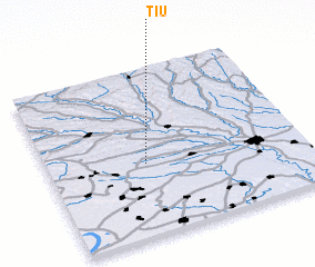 Places with similar names to Ţiu, Romania ::
Disclaimer :: Information on this page comes without warranty of any kind |
||
|
Where is Ţiu? Elevation and coordinates ::
Latitude (lat): 44°26'0"N Longitude (lon): 23°23'0"E
Elevation (approx.): 239m (map arrows pan, magnifying glasses zoom) |
||
|
Visiting Ţiu? Hotel/Accommodation ::
Book a hotel in Ţiu Travel Guide ::
Buy a travel guide for Romania rental cars ::
car rental offers GPS waypoint ::
download a GPX waypoint (PoI) of Ţiu for your GPS receiver
|
||