|
search place name
|
||
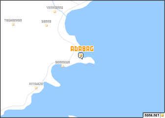
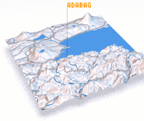
Adabağ (Bitlis, Turkey)Adabağ is a town in the Bitlis region of Turkey. An overview map of the region around Adabağ is displayed below.
regional and 3d topo map of Adabağ, Turkey ::
Adabağ airports ::
The nearest airport is VAN - Van, located 77.0 km east of Adabağ.
Other airports nearby include BAL - Batman (142.1 km south west), ERZ - Erzurum (185.1 km north west), Nearby towns ::
 Places with similar names to Adabağ, Turkey ::
// A do Baço (PT)
// Atbükü (TR)
// Atābak (IR)
// Atābak (IR)
// Atābak (IR)
// Atābakī (IR)
// Āutbāg (BD)
// Ad Dabbākah (JO)
// Ad Dubayqah (SY)
// Aţ Ţabaqah (SY)
Disclaimer :: Information on this page comes without warranty of any kind |
||
|
Where is Adabağ? Elevation and coordinates ::
Latitude (lat): 38°37'54"N Longitude (lon): 42°28'25"E
Elevation (approx.): 1670m (map arrows pan, magnifying glasses zoom) |
||
|
Visiting Adabağ? Hotel/Accommodation ::
Book a hotel in Adabağ Travel Guide ::
Buy a travel guide for Turkey rental cars ::
car rental offers GPS waypoint ::
download a GPX waypoint (PoI) of Adabağ for your GPS receiver
|
||