|
search place name
|
||
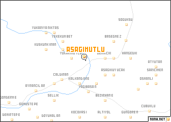
Aşağımutlu (Van, Turkey)Aşağımutlu is a town in the Van region of Turkey. An overview map of the region around Aşağımutlu is displayed below.
regional and 3d topo map of Aşağımutlu, Turkey ::
Aşağımutlu airports ::
The nearest airport is VAN - Van, located 95.9 km south west of Aşağımutlu.
Nearby towns ::
Yukarımutlu (2.5km west) //
Demircik (3.4km east) //
Kalkandere (5.0km south) //
Yukarıkuyucak (4.5km south east) //
Hanköy (5.3km south) //
Kılavuz (4.6km north west) //
Burçakalan (4.8km east) //
Yekekümbet (5.8km north west) //
Çaldıran (5.8km south west) //
Yağıbasan (6.8km south) //
Aşağıkuyucak (5.7km south east) //
Başeğmez (6.4km north east) //
Yassıtepe (7.2km south west) //
Kuşkunkıran (7.2km west) //
Aşağıyanıktaş (8.1km north west) //
Bezirhane (9.3km south) //
Alakaya (8.2km north east) //
Yukarıyanıktaş (9.1km north west) //
Sellik (10.1km south west) //
[all distances 'as the bird flies' and approximate] 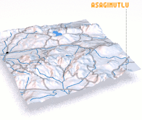 Places with similar names to Aşağımutlu, Turkey :: Disclaimer :: Information on this page comes without warranty of any kind |
||
|
Where is Aşağımutlu? Elevation and coordinates ::
Latitude (lat): 39°10'40"N Longitude (lon): 43°57'41"E
Elevation (approx.): 2054m (map arrows pan, magnifying glasses zoom) |
||
|
Visiting Aşağımutlu? Hotel/Accommodation ::
Book a hotel in Aşağımutlu Travel Guide ::
Buy a travel guide for Turkey rental cars ::
car rental offers GPS waypoint ::
download a GPX waypoint (PoI) of Aşağımutlu for your GPS receiver
|
||