|
search place name
|
||
Balabanlı (İzmir, Turkey)Balabanlı is a town in the İzmir region of Turkey. An overview map of the region around Balabanlı is displayed below.
regional and 3d topo map of Balabanlı, Turkey ::

Balabanlı airports ::
The nearest airport is ADB - Izmir Adnan Menderes, located 71.9 km west of Balabanlı.
Other airports nearby include IGL - Izmir Cigli (92.5 km north west), SMI - Samos (104.4 km south west), LRS - Leros (146.9 km south west), MJT - Mytilini Mitilini (156.1 km north west), Nearby towns ::
Yeğenli (2.5km south) //
Karakova (4.3km north) //
Konaklı (4.6km south east) //
Kızılcaavlu (5.0km west) //
Seyrekli (6.5km north west) //
Sarılar (6.6km south west) //
Gökçen (6.4km south west) //
Yazılı (7.6km north west) //
Ovakent (6.8km south east) //
Osmancık (10.2km south west) //
Yolüstü (10.3km north east) //
[all distances 'as the bird flies' and approximate] 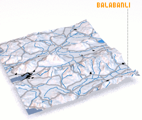
Disclaimer :: Information on this page comes without warranty of any kind |
||
|
Where is Balabanlı? Elevation and coordinates ::
Latitude (lat): 38°8'19"N Longitude (lon): 27°57'18"E
Elevation (approx.): 139m (map arrows pan, magnifying glasses zoom) |
||
|
Visiting Balabanlı? Hotel/Accommodation ::
Book a hotel in Balabanlı Travel Guide ::
Buy a travel guide for Turkey rental cars ::
car rental offers GPS waypoint ::
download a GPX waypoint (PoI) of Balabanlı for your GPS receiver
|
||