|
search place name
|
||
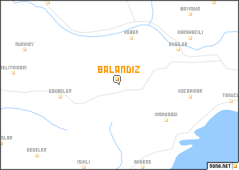
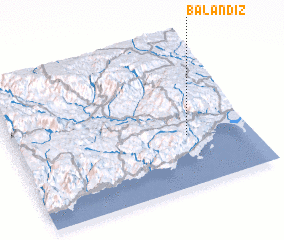
Balandız (İçel, Turkey)Balandız is a town in the İçel region of Turkey. An overview map of the region around Balandız is displayed below.
regional and 3d topo map of Balandız, Turkey ::
Balandız airports ::
The nearest airport is ADA - Adana, located 155.1 km north east of Balandız.
Other airports nearby include LCA - Larnaca (163.9 km south), ADA - Adana Incirlik Ab (167.7 km north east), AKT - Akrotiri (206.6 km south), KYA - Konya (208.6 km north west), Nearby towns ::
 Places with similar names to Balandız, Turkey ::
// Balin Duży (PL)
// Błonie Duże (PL)
// Balandžiai (LT)
// Balandžiai (LT)
// Blönduós (IS)
// Belentsi (BG)
// Belentsi (BG)
// Belentsi (BG)
// Belintsi (BG)
// Bilintsi (BG)
Disclaimer :: Information on this page comes without warranty of any kind |
||
|
Where is Balandız? Elevation and coordinates ::
Latitude (lat): 36°21'0"N Longitude (lon): 33°44'0"E
Elevation (approx.): 932m (map arrows pan, magnifying glasses zoom) |
||
|
Visiting Balandız? Hotel/Accommodation ::
Book a hotel in Balandız Travel Guide ::
Buy a travel guide for Turkey rental cars ::
car rental offers GPS waypoint ::
download a GPX waypoint (PoI) of Balandız for your GPS receiver
|
||