|
search place name
|
||
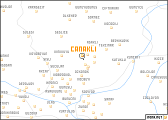
Çanaklı (Turkey)Çanaklı is a town in Turkey. An overview map of the region around Çanaklı is displayed below.
regional and 3d topo map of Çanaklı, Turkey ::
Çanaklı airports ::
The nearest airport is BAL - Batman, located 108.0 km north west of Çanaklı.
Other airports nearby include VAN - Van (149.3 km north east), DIY - Diyabakir Diyarbakir (182.1 km west), Nearby towns ::
Soluklu (1.0km south) //
Bağpınar (1.4km north east) //
Kızılsu (1.7km south east) //
Karınca (1.9km south) //
Atbaşı (1.9km east) //
Kavuncu (2.1km east) //
Özkonak (3.5km south) //
Adaklı (3.4km north east) //
Kırkkuyu (4.0km west) //
Koçbeyi (5.2km south) //
Çiviliçam (4.9km south west) //
Tekçınar (4.6km north east) //
Kabasakal (5.7km south west) //
Çobandede (6.0km south west) //
Sucular (5.3km south west) //
Bestokosre (7.0km south) //
Seslice (6.6km north west) //
Kütüklü (6.3km east) //
Güneşli (7.7km south west) //
Sarıyar (8.1km south) //
Kaniberku (8.0km south) //
Şişli (6.6km west) //
Asmacık (7.1km south west) //
Bermikürik (7.2km north east) //
Görmeç (8.8km north) //
Meşeiçi (8.2km south west) //
Koçağılı (8.6km north east) //
Aşağıdere (9.5km south west) //
[all distances 'as the bird flies' and approximate] 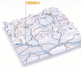 Places with similar names to Çanaklı, Turkey ::
Disclaimer :: Information on this page comes without warranty of any kind |
||
|
Where is Çanaklı? Elevation and coordinates ::
Latitude (lat): 37°28'8"N Longitude (lon): 42°11'43"E
Elevation (approx.): 1097m (map arrows pan, magnifying glasses zoom) |
||
|
Visiting Çanaklı? Hotel/Accommodation ::
Book a hotel in Çanaklı Travel Guide ::
Buy a travel guide for Turkey rental cars ::
car rental offers GPS waypoint ::
download a GPX waypoint (PoI) of Çanaklı for your GPS receiver
|
||