|
search place name
|
||
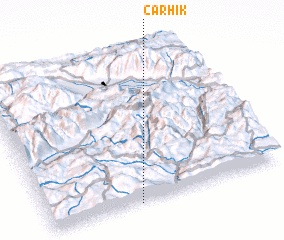
Çarhik (Tunceli, Turkey)Çarhik is a town in the Tunceli region of Turkey. An overview map of the region around Çarhik is displayed below.
regional and 3d topo map of Çarhik, Turkey ::

Çarhik airports ::
The nearest airport is EZS - Elazig, located 44.4 km south of Çarhik.
Other airports nearby include ERC - Erzincan (79.8 km north), MLX - Malatya Erhac (128.7 km south west), DIY - Diyabakir Diyarbakir (142.0 km south east), ERZ - Erzurum (186.8 km north east), Nearby towns ::
 Places with similar names to Çarhik, Turkey ::
// Kraheck (DE)
// Karahoca (TR)
// Gray Hawk (US)
// Carihueico (CL)
// Carhuac (PE)
// Quirihuac (PE)
// Karhūk (SY)
// Garahaki (NG)
// Guerra Huayco (BO)
// Korhogo (CI)
Disclaimer :: Information on this page comes without warranty of any kind |
||
|
Where is Çarhik? Elevation and coordinates ::
Latitude (lat): 39°0'0"N Longitude (lon): 39°23'0"E
Elevation (approx.): 1540m (map arrows pan, magnifying glasses zoom) |
||
|
Visiting Çarhik? Hotel/Accommodation ::
Book a hotel in Çarhik Travel Guide ::
Buy a travel guide for Turkey rental cars ::
car rental offers GPS waypoint ::
download a GPX waypoint (PoI) of Çarhik for your GPS receiver
|
||