|
search place name
|
||
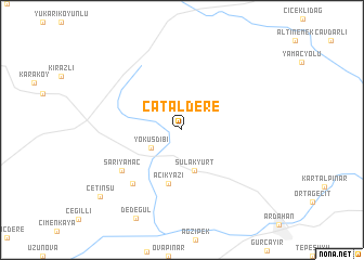
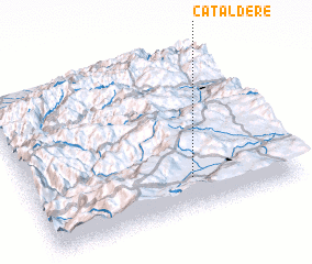
Çataldere (Ardahan, Turkey)Çataldere is a town in the Ardahan region of Turkey. An overview map of the region around Çataldere is displayed below.
regional and 3d topo map of Çataldere, Turkey ::
Çataldere airports ::
The nearest airport is ERZ - Erzurum, located 184.3 km south west of Çataldere.
Nearby towns ::
 Places with similar names to Çataldere, Turkey ::
Disclaimer :: Information on this page comes without warranty of any kind |
||
|
Where is Çataldere? Elevation and coordinates ::
Latitude (lat): 41°12'0"N Longitude (lon): 42°36'44"E
Elevation (approx.): 1930m (map arrows pan, magnifying glasses zoom) |
||
|
Visiting Çataldere? Hotel/Accommodation ::
Book a hotel in Çataldere Travel Guide ::
Buy a travel guide for Turkey rental cars ::
car rental offers GPS waypoint ::
download a GPX waypoint (PoI) of Çataldere for your GPS receiver
|
||