|
search place name
|
||
Dereköy Yaylasi see Dereköy (İzmir, Turkey)Dereköy Yaylasi see Dereköy is a town in the İzmir region of Turkey. An overview map of the region around Dereköy Yaylasi see Dereköy is displayed below.
regional and 3d topo map of Dereköy Yaylasi see Dereköy, Turkey ::

Dereköy Yaylasi see Dereköy airports ::
The nearest airport is ADB - Izmir Adnan Menderes, located 44.7 km west of Dereköy Yaylasi see Dereköy.
Other airports nearby include IGL - Izmir Cigli (61.3 km west), SMI - Samos (96.1 km south west), MJT - Mytilini Mitilini (124.0 km north west), JKH - Chios (133.5 km west), Nearby towns ::
Alankıyı (4.8km south west) //
Sarıyurt (5.4km south east) //
Dere see Dereköy (8.0km south) //
Ergenli (8.6km south) //
[all distances 'as the bird flies' and approximate] 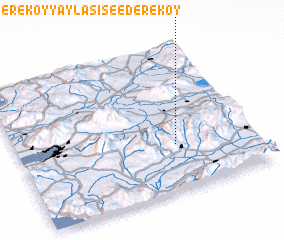 Places with similar names to Dereköy Yaylasi see Dereköy, Turkey :: Disclaimer :: Information on this page comes without warranty of any kind |
||
|
Where is Dereköy Yaylasi see Dereköy? Elevation and coordinates ::
Latitude (lat): 38°19'0"N Longitude (lon): 27°40'0"E
Elevation (approx.): 735m (map arrows pan, magnifying glasses zoom) |
||
|
Visiting Dereköy Yaylasi see Dereköy? Hotel/Accommodation ::
Book a hotel in Dereköy Yaylasi see Dereköy Travel Guide ::
Buy a travel guide for Turkey rental cars ::
car rental offers GPS waypoint ::
download a GPX waypoint (PoI) of Dereköy Yaylasi see Dereköy for your GPS receiver
|
||