|
search place name
|
||
Karadoruk (Samsun, Turkey)Karadoruk is a town in the Samsun region of Turkey. An overview map of the region around Karadoruk is displayed below.
regional and 3d topo map of Karadoruk, Turkey ::

Karadoruk airports ::
The nearest airport is MZH - Merzifon, located 45.5 km south east of Karadoruk.
Other airports nearby include VAS - Sivas (206.8 km south east), Nearby towns ::
Bakla (3.7km south) //
Yukarınarlı (2.8km east) //
Beşpınar (4.0km south) //
Karanar (5.6km north) //
Sarıalan (4.6km north west) //
Saraycık (5.7km north) //
Aşağınarlı (4.6km north east) //
Keçiçalı (5.6km north west) //
Ağcayazı (5.6km east) //
Göllüalan (7.0km south east) //
Samukalan (6.7km south east) //
Gölköy (6.7km south west) //
Cebeli (8.5km south east) //
Halilbaba (8.5km south east) //
Kılıçgüney (9.3km south east) //
[all distances 'as the bird flies' and approximate] 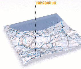 Places with similar names to Karadoruk, Turkey ::
// Karadirek (TR)
// Karadoruk (TR)
// Kurudereköy (TR)
// Kara-Terek (RU)
// Carderock (US)
// Courtrock (US)
// Curi Tarqui (EC)
// Karaterek (KZ)
// Kara-Turuk (KZ)
// Karaturyk (KZ)
Disclaimer :: Information on this page comes without warranty of any kind |
||
|
Where is Karadoruk? Elevation and coordinates ::
Latitude (lat): 41°11'0"N Longitude (lon): 35°15'0"E
Elevation (approx.): 359m (map arrows pan, magnifying glasses zoom) |
||
|
Visiting Karadoruk? Hotel/Accommodation ::
Book a hotel in Karadoruk Travel Guide ::
Buy a travel guide for Turkey rental cars ::
car rental offers GPS waypoint ::
download a GPX waypoint (PoI) of Karadoruk for your GPS receiver
|
||