|
search place name
|
||
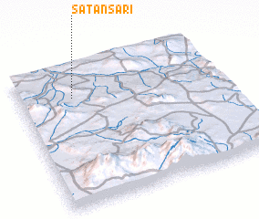
Satansarı (Turkey)Satansarı is a town in Turkey. An overview map of the region around Satansarı is displayed below.
regional and 3d topo map of Satansarı, Turkey ::

Satansarı airports ::
The nearest airport is ASR - Kayseri Erkilet, located 106.8 km east of Satansarı.
Other airports nearby include KYA - Konya (173.7 km south west), ESB - Ankara Esenboga (185.1 km north west), ANK - Ankara Etimesgut (187.8 km north west), ADA - Adana (218.9 km south east), Nearby towns ::
 Places with similar names to Satansarı, Turkey ::
// Sudnozero (RU)
// Sidi Nasser (MA)
// Stînişoara (RO)
// Stînişoara (RO)
// Sīdī an Nāşir (TN)
// Seyyed Nāşer (IR)
// Seyyed Nāşer (IR)
// Zaouiet en Nouasra (MA)
// Stanišor (CS)
Disclaimer :: Information on this page comes without warranty of any kind |
||
|
Where is Satansarı? Elevation and coordinates ::
Latitude (lat): 38°47'0"N Longitude (lon): 34°16'0"E
Elevation (approx.): 1055m (map arrows pan, magnifying glasses zoom) |
||
|
Visiting Satansarı? Hotel/Accommodation ::
Book a hotel in Satansarı Travel Guide ::
Buy a travel guide for Turkey rental cars ::
car rental offers GPS waypoint ::
download a GPX waypoint (PoI) of Satansarı for your GPS receiver
|
||