|
search place name
|
||
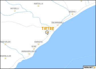
Tırtar (İçel, Turkey)Tırtar is a town in the İçel region of Turkey. An overview map of the region around Tırtar is displayed below.
regional and 3d topo map of Tırtar, Turkey ::
Tırtar airports ::
The nearest airport is ADA - Adana, located 105.1 km north east of Tırtar.
Other airports nearby include ADA - Adana Incirlik Ab (117.7 km north east), LCA - Larnaca (193.8 km south), LTK - Latakia Bassel Al Assad Intl (200.5 km south east), KYA - Konya (217.1 km north west), Nearby towns ::
Limonlu (2.4km north east) //
Kumkuyu (4.8km south west) //
Kocahasanlı (4.8km north east) //
Ayaş (7.1km south west) //
Merdivenlikuyu (9.5km south west) //
[all distances 'as the bird flies' and approximate] 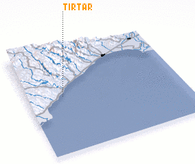 Places with similar names to Tırtar, Turkey ::
// Taratara (BO)
// Dar Dar (MA)
// Dardara (MA)
// Douar Drâa (MA)
// Douar Draaoua (MA)
// Tiratira (BO)
// Torotoro (BO)
// Tretiy Yar (RU)
// Tǝrtǝr (AZ)
// Dardara (PH)
Disclaimer :: Information on this page comes without warranty of any kind |
||
|
Where is Tırtar? Elevation and coordinates ::
Latitude (lat): 36°33'0"N Longitude (lon): 34°14'0"E
Elevation (approx.): 25m (map arrows pan, magnifying glasses zoom) |
||
|
Visiting Tırtar? Hotel/Accommodation ::
Book a hotel in Tırtar Travel Guide ::
Buy a travel guide for Turkey rental cars ::
car rental offers GPS waypoint ::
download a GPX waypoint (PoI) of Tırtar for your GPS receiver
|
||