|
search place name
|
||
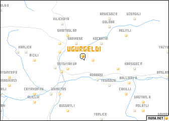
Uğurgeldi (Turkey)Uğurgeldi is a town in Turkey. An overview map of the region around Uğurgeldi is displayed below.
regional and 3d topo map of Uğurgeldi, Turkey ::
Uğurgeldi airports ::
The nearest airport is TZX - Trabzon, located 77.4 km north west of Uğurgeldi.
Other airports nearby include ERZ - Erzurum (90.0 km south east), ERC - Erzincan (102.5 km south west), EZS - Elazig (218.8 km south west), Nearby towns ::
Gökçeli (1.4km east) //
Seydiyakup (3.4km south west) //
Sarımeşe (4.0km north) //
Adabaşı (4.8km south east) //
Koçbayır (4.7km north east) //
Konursu (4.6km south west) //
Erikdibi (4.6km north west) //
Sırataşlar (6.2km north west) //
Çiğdemlik (5.6km north west) //
Akbulut (5.2km west) //
Çayırözü (5.9km east) //
Yedigöze (7.0km south east) //
Göloba (8.5km north east) //
Dikmetaş (8.5km south west) //
Kılıçkaya (9.0km north west) //
Değirmencik (9.3km south west) //
[all distances 'as the bird flies' and approximate] 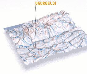 Places with similar names to Uğurgeldi, Turkey :: Disclaimer :: Information on this page comes without warranty of any kind |
||
|
Where is Uğurgeldi? Elevation and coordinates ::
Latitude (lat): 40°25'0"N Longitude (lon): 40°18'0"E
Elevation (approx.): 1813m (map arrows pan, magnifying glasses zoom) |
||
|
Visiting Uğurgeldi? Hotel/Accommodation ::
Book a hotel in Uğurgeldi Travel Guide ::
Buy a travel guide for Turkey rental cars ::
car rental offers GPS waypoint ::
download a GPX waypoint (PoI) of Uğurgeldi for your GPS receiver
|
||