|
search place name
|
||
Gzhenda (Ukraine)Gzhenda is a town in Ukraine. An overview map of the region around Gzhenda is displayed below.
regional and 3d topo map of Gzhenda, Ukraine ::

Gzhenda airports ::
The nearest airport is LWO - Lvov Lviv Intl, located 51.7 km south of Gzhenda.
Other airports nearby include RZE - Rzeszow Jasionka (128.4 km west), Nearby towns ::
Denysy (1.9km south) //
Ruda (3.7km south) //
Brodzyuki (3.0km north east) //
Giyche (3.0km south west) //
Melʼniki (3.0km south west) //
Ivanki (4.4km north west) //
Zaborʼye (4.0km north west) //
Salashe (4.0km north east) //
Novaya Kamenka (5.7km south) //
Sukhoruki (6.0km south east) //
Kamennyye Budy (7.4km south) //
Vulʼka-Mazovetskaya (5.1km east) //
Pulʼtse (7.8km south) //
Bapkan (6.0km south east) //
Domashev (8.2km north east) //
Milyava (8.2km south east) //
Gole-Male (7.3km south west) //
Yuzefuvka (8.8km north west) //
[all distances 'as the bird flies' and approximate] 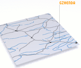
Disclaimer :: Information on this page comes without warranty of any kind |
||
|
Where is Gzhenda? Elevation and coordinates ::
Latitude (lat): 50°16'0"N Longitude (lon): 23°48'0"E
Elevation (approx.): 212m (map arrows pan, magnifying glasses zoom) |
||
|
Visiting Gzhenda? Hotel/Accommodation ::
Book a hotel in Gzhenda Travel Guide ::
Buy a travel guide for Ukraine rental cars ::
car rental offers GPS waypoint ::
download a GPX waypoint (PoI) of Gzhenda for your GPS receiver
|
||