|
search place name
|
||
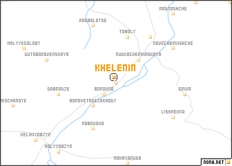
Khelenin (Ukraine)Khelenin is a town in Ukraine. An overview map of the region around Khelenin is displayed below.
regional and 3d topo map of Khelenin, Ukraine ::
Khelenin airports ::
The nearest airport is LWO - Lvov Lviv Intl, located 214.2 km south west of Khelenin.
Nearby towns ::
Olenino (0.0km north) //
Borovno (2.2km south west) //
Rudka Chervinskaya (4.4km north east) //
Borovetske Zakhody (4.4km south west) //
Toboly (7.5km north) //
Nabruska (7.8km south) //
Staroye Chervishche (8.2km north east) //
[all distances 'as the bird flies' and approximate] 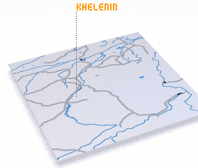
Disclaimer :: Information on this page comes without warranty of any kind |
||
|
Where is Khelenin? Elevation and coordinates ::
Latitude (lat): 51°32'0"N Longitude (lon): 25°19'0"E
Elevation (approx.): 152m (map arrows pan, magnifying glasses zoom) |
||
|
Visiting Khelenin? Hotel/Accommodation ::
Book a hotel in Khelenin Travel Guide ::
Buy a travel guide for Ukraine rental cars ::
car rental offers GPS waypoint ::
download a GPX waypoint (PoI) of Khelenin for your GPS receiver
|
||