|
search place name
|
||
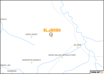
Al Jamah (Tūnis al Janūbīyah, Tunisia)Al Jamah is a town in the Tūnis al Janūbīyah region of Tunisia. An overview map of the region around Al Jamah is displayed below.
regional and 3d topo map of Al Jamah, Tunisia ::
Al Jamah airports ::
The nearest airport is TUN - Tunis Carthage, located 117.4 km north east of Al Jamah.
Other airports nearby include TEE - Tebessa Cheikh Larbi Tebessi (129.7 km south west), MIR - Monastir Habib Bourguiba Intl (138.6 km east), AAE - Annaba (153.6 km north west), GAF - Gafsa (192.6 km south), Nearby towns ::
Kāf al Marīr (6.0km west) //
Dār al Ḩājj ‘Alī Bin Sulaymān (8.0km south) //
[all distances 'as the bird flies' and approximate] 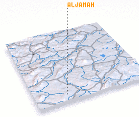 Places with similar names to Al Jamah, Tunisia ::
// Al Awjām (SA)
// Al Jimah (SA)
// Al Jūmā (SY)
// Aligêma (MZ)
// Al Jum‘ah (LY)
// Al Jāmi‘ah (IQ)
// Al Jum‘ah (IQ)
// Al ‘Ajamī (EG)
// Al Jāmi‘ah (SA)
// Al Jum‘ah (SA)
Disclaimer :: Information on this page comes without warranty of any kind |
||
|
Where is Al Jamah? Elevation and coordinates ::
Latitude (lat): 36°7'0"N Longitude (lon): 9°17'0"E
Elevation (approx.): 580m (map arrows pan, magnifying glasses zoom) |
||
|
Visiting Al Jamah? Hotel/Accommodation ::
Book a hotel in Al Jamah Travel Guide ::
Buy a travel guide for Tunisia rental cars ::
car rental offers GPS waypoint ::
download a GPX waypoint (PoI) of Al Jamah for your GPS receiver
|
||