|
search place name
|
||
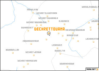
Dechret Touama (Kairouan, Tunisia)Dechret Touama is a town in the Kairouan region of Tunisia. An overview map of the region around Dechret Touama is displayed below.
regional and 3d topo map of Dechret Touama, Tunisia ::
Dechret Touama airports ::
The nearest airport is MIR - Monastir Habib Bourguiba Intl, located 109.9 km east of Dechret Touama.
Other airports nearby include TUN - Tunis Carthage (120.8 km north east), TEE - Tebessa Cheikh Larbi Tebessi (140.1 km west), SFA - Sfax Thyna (167.8 km south east), GAF - Gafsa (177.9 km south), Nearby towns ::
Dechret el Gamboura (1.8km south west) //
Dechret el Golea (2.6km north east) //
Dashrat al Qulay‘ah (2.9km east) //
Douar Ouled Bou Allah (4.1km east) //
Dechret Ghamlia (4.7km north west) //
Dechret ez Zriba (4.5km north west) //
Dechret Sidi Hamada (5.4km north) //
Les Assion (5.3km south east) //
Dechret Bou Sabioun (5.5km north west) //
Douar Tell er Rebia (5.3km east) //
El Agraïne (6.3km north east) //
Dechret el Guennara (7.3km north) //
Zaouïa Sidi Ameur (6.5km south west) //
Ousseltia (7.6km south east) //
Sidi Marchett (6.8km west) //
Dechret Jenoua (8.9km south west) //
Rass el Maa (10.0km north west) //
[all distances 'as the bird flies' and approximate] 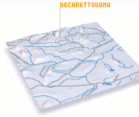 Places with similar names to Dechret Touama, Tunisia :: Disclaimer :: Information on this page comes without warranty of any kind |
||
|
Where is Dechret Touama? Elevation and coordinates ::
Latitude (lat): 35°54'33"N Longitude (lon): 9°33'11"E
Elevation (approx.): 566m (map arrows pan, magnifying glasses zoom) |
||
|
Visiting Dechret Touama? Hotel/Accommodation ::
Book a hotel in Dechret Touama Travel Guide ::
Buy a travel guide for Tunisia rental cars ::
car rental offers GPS waypoint ::
download a GPX waypoint (PoI) of Dechret Touama for your GPS receiver
|
||