|
search place name
|
||
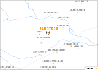
El Bayada (Sidi Bou Zid, Tunisia)El Bayada is a town in the Sidi Bou Zid region of Tunisia. An overview map of the region around El Bayada is displayed below.
regional and 3d topo map of El Bayada, Tunisia ::
El Bayada airports ::
The nearest airport is MIR - Monastir Habib Bourguiba Intl, located 121.8 km east of El Bayada.
Other airports nearby include TEE - Tebessa Cheikh Larbi Tebessi (122.5 km west), GAF - Gafsa (127.0 km south west), SFA - Sfax Thyna (136.9 km south east), TUN - Tunis Carthage (171.2 km north east), Nearby towns ::
Douar Msakine (2.5km south west) //
Smida (2.9km west) //
Zaoula Sidi Mohammed Salah (3.9km south west) //
Dar Brinissa (5.3km north east) //
Douar Oulad Abbas (7.1km south) //
Diar Beni Allah (7.8km north) //
Douar et Tarig (7.8km south) //
Seba Regoud (7.4km north east) //
Hajeb el Aïoun (8.1km south east) //
[all distances 'as the bird flies' and approximate] 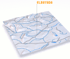 Places with similar names to El Bayada, Tunisia ::
Disclaimer :: Information on this page comes without warranty of any kind |
||
|
Where is El Bayada? Elevation and coordinates ::
Latitude (lat): 35°26'7"N Longitude (lon): 9°28'11"E
Elevation (approx.): 377m (map arrows pan, magnifying glasses zoom) |
||
|
Visiting El Bayada? Hotel/Accommodation ::
Book a hotel in El Bayada Travel Guide ::
Buy a travel guide for Tunisia rental cars ::
car rental offers GPS waypoint ::
download a GPX waypoint (PoI) of El Bayada for your GPS receiver
|
||