|
search place name
|
||
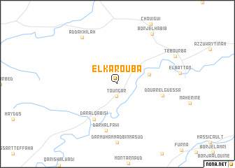
El Karouba (Ariana, Tunisia)El Karouba is a town in the Ariana region of Tunisia. An overview map of the region around El Karouba is displayed below.
regional and 3d topo map of El Karouba, Tunisia ::
El Karouba airports ::
The nearest airport is TUN - Tunis Carthage, located 42.9 km east of El Karouba.
Other airports nearby include MIR - Monastir Habib Bourguiba Intl (146.7 km south east), AAE - Annaba (173.2 km west), TEE - Tebessa Cheikh Larbi Tebessi (211.2 km south west), Nearby towns ::
Toungar (2.0km south) //
El Aroussia (4.4km east) //
Dār al Qābisī (6.3km south west) //
Douar el Guessa (6.1km east) //
Dār Ḩalfāwī (7.6km south) //
Ad Dakhīlah (8.6km north west) //
Borj el Habib (9.2km north east) //
[all distances 'as the bird flies' and approximate] 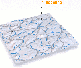 Places with similar names to El Karouba, Tunisia ::
// El Agreb (MA)
// El Kraba (MA)
// El Krabaa (MA)
// El Aguerba (TN)
// El Garrobo (ES)
// El Criba (SV)
// El Caribe (GT)
// El Garrobo (GT)
// El Khraïbé (LB)
// El Khraïbé (LB)
Disclaimer :: Information on this page comes without warranty of any kind |
||
|
Where is El Karouba? Elevation and coordinates ::
Latitude (lat): 36°48'1"N Longitude (lon): 9°45'1"E
Elevation (approx.): 106m (map arrows pan, magnifying glasses zoom) |
||
|
Visiting El Karouba? Hotel/Accommodation ::
Book a hotel in El Karouba Travel Guide ::
Buy a travel guide for Tunisia rental cars ::
car rental offers GPS waypoint ::
download a GPX waypoint (PoI) of El Karouba for your GPS receiver
|
||