|
search place name
|
||
El Ksour (El Kef, Tunisia)El Ksour is a town in the El Kef region of Tunisia. An overview map of the region around El Ksour is displayed below.
regional and 3d topo map of El Ksour, Tunisia ::

El Ksour airports ::
The nearest airport is TEE - Tebessa Cheikh Larbi Tebessi, located 86.4 km south west of El Ksour.
Other airports nearby include AAE - Annaba (141.1 km north west), TUN - Tunis Carthage (160.3 km north east), GAF - Gafsa (163.7 km south), MIR - Monastir Habib Bourguiba Intl (169.5 km east), Nearby towns ::
Sīdī ‘Abd al Qādir (6.1km north) //
Douar Ben Jarou (5.4km east) //
Dahmani (7.3km north west) //
Djoua Awlād Sulţān (7.8km south west) //
Ash Shawāshinīyah (8.9km south) //
[all distances 'as the bird flies' and approximate] 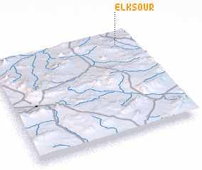 Places with similar names to El Ksour, Tunisia ::
// El Guezîra (MA)
// El Ksar (TN)
// El Ksour (TN)
// El Casar (ES)
// Elixer (US)
// El Gasero (MX)
// El Ksâra (LB)
// Elkassouora (NE)
// Elíxir (HN)
// El Kousir (MA)
Disclaimer :: Information on this page comes without warranty of any kind |
||
|
Where is El Ksour? Elevation and coordinates ::
Latitude (lat): 35°53'47"N Longitude (lon): 8°53'12"E
Elevation (approx.): 708m (map arrows pan, magnifying glasses zoom) |
||
|
Visiting El Ksour? Hotel/Accommodation ::
Book a hotel in El Ksour Travel Guide ::
Buy a travel guide for Tunisia rental cars ::
car rental offers GPS waypoint ::
download a GPX waypoint (PoI) of El Ksour for your GPS receiver
|
||