|
search place name
|
||
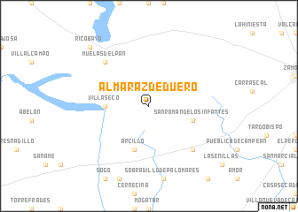
Almaraz de Duero (Castilla y León, Spain)Almaraz de Duero is a town in the Castilla y León region of Spain. An overview map of the region around Almaraz de Duero is displayed below.
regional and 3d topo map of Almaraz de Duero, Spain ::
Almaraz de Duero airports ::
The nearest airport is SLM - Salamanca, located 66.9 km south east of Almaraz de Duero.
Other airports nearby include BGC - Braganca (78.9 km north west), VLL - Valladolid (92.7 km east), VRL - Vila Real (152.4 km west), Nearby towns ::
Villaseco (4.2km west) //
Arcillo (5.7km south) //
San Román de los Infantes (4.6km south east) //
Pereruela (6.9km south east) //
Muelas del Pan (6.9km north west) //
Ricobayo (9.3km north west) //
[all distances 'as the bird flies' and approximate] 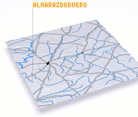 Places with similar names to Almaraz de Duero, Spain :: Disclaimer :: Information on this page comes without warranty of any kind |
||
|
Where is Almaraz de Duero? Elevation and coordinates ::
Latitude (lat): 41°28'0"N Longitude (lon): 5°55'0"W
Elevation (approx.): 727m (map arrows pan, magnifying glasses zoom) |
||
|
Visiting Almaraz de Duero? Hotel/Accommodation ::
Book a hotel in Almaraz de Duero Travel Guide ::
Buy a travel guide for Spain rental cars ::
car rental offers GPS waypoint ::
download a GPX waypoint (PoI) of Almaraz de Duero for your GPS receiver
|
||