|
search place name
|
||
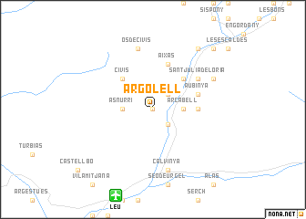
Argolell (Cataluña, Spain)Argolell is a town in the Cataluña region of Spain. An overview map of the region around Argolell is displayed below.
regional and 3d topo map of Argolell, Spain ::
Argolell airports ::
The nearest airport is LEU - Seo De Urgel, located 11.0 km south of Argolell.
Other airports nearby include CCF - Carcassonne Salvaza (111.6 km north east), LRH - La Rochelle Lherm (113.8 km north), PGF - Perpignan Rivesaltes (121.5 km east), GRO - Gerona Girona (123.4 km south east), Nearby towns ::
Mas dʼAlins (0.0km north) //
Farga de Moles (2.3km south east) //
Fontaneda (2.3km north east) //
Asnurri (2.7km west) //
Arcabell (2.7km east) //
Aixovall (4.6km north east) //
Civís (4.6km north west) //
Juberri (4.1km east) //
Bixessarri (5.7km north) //
Aixàs (5.7km north) //
Aubinyà (4.5km north east) //
Aixirivall (5.5km north east) //
Certers (5.5km north east) //
Nagol (5.5km north east) //
Sant Julià de Lòria (5.5km north east) //
Calvinyá (7.5km south) //
Os de Civís (7.5km north) //
Llumeneres (6.6km north east) //
Santa Coloma (8.5km north east) //
Andorra la Vella (9.2km north east) //
[all distances 'as the bird flies' and approximate] 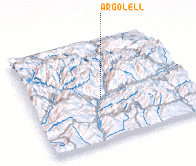 Places with similar names to Argolell, Spain :: Disclaimer :: Information on this page comes without warranty of any kind |
||
|
Where is Argolell? Elevation and coordinates ::
Latitude (lat): 42°26'0"N Longitude (lon): 1°27'0"E
Elevation (approx.): 1087m (map arrows pan, magnifying glasses zoom) |
||
|
Visiting Argolell? Hotel/Accommodation ::
Book a hotel in Argolell Travel Guide ::
Buy a travel guide for Spain rental cars ::
car rental offers GPS waypoint ::
download a GPX waypoint (PoI) of Argolell for your GPS receiver
|
||