|
search place name
|
||
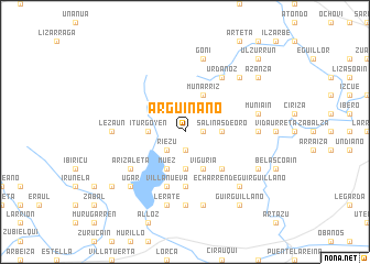
Arguiñano (Navarra, Spain)Arguiñano is a town in the Navarra region of Spain. An overview map of the region around Arguiñano is displayed below.
regional and 3d topo map of Arguiñano, Spain ::
Arguiñano airports ::
The nearest airport is PNA - Pamplona, located 22.2 km east of Arguiñano.
Other airports nearby include EAS - San Sebastian (64.5 km north), VIT - Vitoria (67.0 km west), BIQ - Biarritz-bayonne Anglet (82.6 km north east), BIO - Bilbao (99.3 km north west), Nearby towns ::
Irujo (1.9km south) //
Vidaurre (1.4km east) //
Guembe (1.4km east) //
Riezu (2.3km south west) //
Iturgoyen (2.7km west) //
Esténoz (3.7km south) //
Salinas de Oro (2.7km east) //
Muez (3.9km south) //
Viguria (3.9km south) //
Munárriz (3.9km north) //
Arzoz (4.6km south east) //
Muzqui (5.6km south) //
Villanueva (5.7km south) //
Arizaleta (5.5km south west) //
Urdánoz (6.2km north east) //
Lezáun (5.4km west) //
Irurre (7.4km south) //
Izurzu (5.4km east) //
Lerate (7.5km south) //
Garísoain (7.5km south) //
Muniáin (5.7km east) //
Goñi (7.5km north) //
Aizpún (6.9km north east) //
Echarren de Guirguillano (6.9km south east) //
Ugar (6.9km south west) //
Arguiñáriz (6.6km south east) //
Azcona (7.8km south west) //
Guirguillano (8.5km south east) //
Azanza (7.8km north east) //
[all distances 'as the bird flies' and approximate] 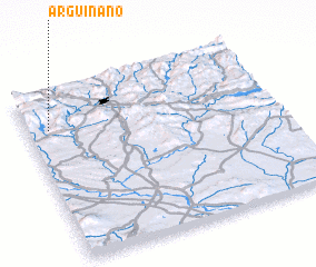 Places with similar names to Arguiñano, Spain ::
Disclaimer :: Information on this page comes without warranty of any kind |
||
|
Where is Arguiñano? Elevation and coordinates ::
Latitude (lat): 42°47'0"N Longitude (lon): 1°55'0"W
Elevation (approx.): 700m (map arrows pan, magnifying glasses zoom) |
||
|
Visiting Arguiñano? Hotel/Accommodation ::
Book a hotel in Arguiñano Travel Guide ::
Buy a travel guide for Spain rental cars ::
car rental offers GPS waypoint ::
download a GPX waypoint (PoI) of Arguiñano for your GPS receiver
|
||