|
search place name
|
||
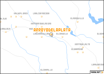
Arroyo de la Plata (Andalucía, Spain)Arroyo de la Plata is a town in the Andalucía region of Spain. An overview map of the region around Arroyo de la Plata is displayed below.
regional and 3d topo map of Arroyo de la Plata, Spain ::
Arroyo de la Plata airports ::
The nearest airport is SVQ - Sevilla, located 41.9 km south east of Arroyo de la Plata.
Other airports nearby include OZP - Sevilla Moron Ab (78.3 km south east), XRY - Jerez (103.7 km south), ODB - Cordoba (125.0 km east), BJZ - Badajoz Talavera La Real (144.8 km north), Nearby towns ::
El Cañuelo (2.9km east) //
Las Cañadillas (2.9km west) //
Huertas de Medialegua (3.5km north west) //
Ventorro del Negro (4.7km north west) //
Archidona (4.7km north west) //
El Castillo de las Guardas (4.8km north west) //
La Alcornocosa (8.0km north) //
[all distances 'as the bird flies' and approximate] 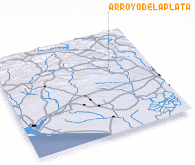 Places with similar names to Arroyo de la Plata, Spain ::
// Arroyo de la Plata (MX)
Disclaimer :: Information on this page comes without warranty of any kind |
||
|
Where is Arroyo de la Plata? Elevation and coordinates ::
Latitude (lat): 37°40'0"N Longitude (lon): 6°15'0"W
Elevation (approx.): 241m (map arrows pan, magnifying glasses zoom) |
||
|
Visiting Arroyo de la Plata? Hotel/Accommodation ::
Book a hotel in Arroyo de la Plata Travel Guide ::
Buy a travel guide for Spain rental cars ::
car rental offers GPS waypoint ::
download a GPX waypoint (PoI) of Arroyo de la Plata for your GPS receiver
|
||