|
search place name
|
||
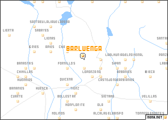
Barluenga (Aragón, Spain)Barluenga is a town in the Aragón region of Spain. An overview map of the region around Barluenga is displayed below.
regional and 3d topo map of Barluenga, Spain ::
Barluenga airports ::
The nearest airport is ZAZ - Zaragoza Ab, located 83.5 km south west of Barluenga.
Other airports nearby include LDE - Tarbes Lourdes (112.0 km north), PNA - Pamplona (125.2 km north west), PUF - Pau Pyrenees (131.3 km north), LEU - Seo De Urgel (144.6 km east), Nearby towns ::
Sasa del Abadiado (1.9km south) //
Santa Eulalia la Mayor (2.7km east) //
Loporzano (4.0km south) //
Castilsabás (3.3km south east) //
Chibluco (3.3km north west) //
Fornillos (3.3km south west) //
Bandaliés (4.6km south east) //
Ayera (4.6km south east) //
Quicena (6.2km south west) //
Sipán (5.8km east) //
Apiés (5.8km west) //
Tierz (7.5km south) //
Lieñas (6.6km north west) //
Castejón de Arbaniés (7.8km south east) //
Santa Eulalia de la Peña (9.2km north west) //
[all distances 'as the bird flies' and approximate] 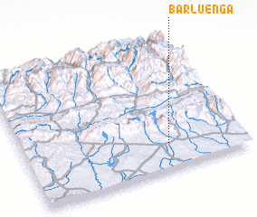 Places with similar names to Barluenga, Spain ::
// Barling (US)
// Berlanga (PA)
// Barlinek (PL)
// Berlinka (PL)
// Berlanga (ES)
// Bouralangou (BJ)
// Baraléongo (BF)
// Barlanga (IN)
// Bar Olengo (KE)
// Brélangui (ML)
Disclaimer :: Information on this page comes without warranty of any kind |
||
|
Where is Barluenga? Elevation and coordinates ::
Latitude (lat): 42°12'0"N Longitude (lon): 0°20'0"W
Elevation (approx.): 689m (map arrows pan, magnifying glasses zoom) |
||
|
Visiting Barluenga? Hotel/Accommodation ::
Book a hotel in Barluenga Travel Guide ::
Buy a travel guide for Spain rental cars ::
car rental offers GPS waypoint ::
download a GPX waypoint (PoI) of Barluenga for your GPS receiver
|
||