|
search place name
|
||
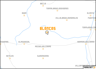
Blancas (Aragón, Spain)Blancas is a town in the Aragón region of Spain. An overview map of the region around Blancas is displayed below.
regional and 3d topo map of Blancas, Spain ::
Blancas airports ::
The nearest airport is ZAZ - Zaragoza Ab, located 101.4 km north of Blancas.
Other airports nearby include TOJ - Madrid Torrejon (169.7 km west), VLC - Valencia (170.3 km south east), PNA - Pamplona (217.4 km north), Nearby towns ::
Pozuel del Campo (5.7km south) //
Villalba de los Morales (7.9km north east) //
[all distances 'as the bird flies' and approximate]  Places with similar names to Blancas, Spain ::
// Balingasao (PH)
// Balingasay (PH)
// Bulangsi (PH)
// Bahlings (DE)
// Billings (DE)
// Balangāz (IQ)
// Belengöz (TR)
// Blancos (ES)
// Billings (RU)
// Belongoza (MG)
Disclaimer :: Information on this page comes without warranty of any kind |
||
|
Where is Blancas? Elevation and coordinates ::
Latitude (lat): 40°49'0"N Longitude (lon): 1°29'0"W
Elevation (approx.): 1047m (map arrows pan, magnifying glasses zoom) |
||
|
Visiting Blancas? Hotel/Accommodation ::
Book a hotel in Blancas Travel Guide ::
Buy a travel guide for Spain rental cars ::
car rental offers GPS waypoint ::
download a GPX waypoint (PoI) of Blancas for your GPS receiver
|
||