|
search place name
|
||
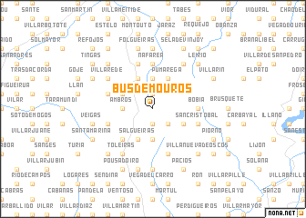
Busdemouros (Asturias, Spain)Busdemouros is a town in the Asturias region of Spain. An overview map of the region around Busdemouros is displayed below.
regional and 3d topo map of Busdemouros, Spain ::
Busdemouros airports ::
The nearest airport is OVD - Aviles Asturias, located 81.7 km east of Busdemouros.
Other airports nearby include LCG - La Coruna A Coruna (111.8 km west), SCQ - Santiago (125.7 km south west), BGC - Braganca (167.5 km south), VGO - Vigo (182.1 km south west), Nearby towns ::
Restrepo (1.9km north) //
Villanueva (1.9km south) //
Bustapena (2.3km south east) //
Monticelo (3.7km north) //
Ambrós (2.7km west) //
Pasarón (3.7km south) //
El Villar (3.7km south) //
Molejón (3.9km north) //
Barranca de Paramíos (3.9km north) //
Pumarega (3.9km north) //
Paramíos (3.9km north) //
Morlongo (3.3km south east) //
Freije (3.3km north west) //
Salgueiras (3.9km south) //
Gestoso (4.6km south west) //
Nafarea (5.6km north) //
Bobia (4.0km east) //
Espina (5.7km north) //
San Cristóbal (4.4km south east) //
Bres (4.4km north west) //
Arrojo (4.4km north west) //
Teijo (4.4km south west) //
Ovellariza (5.7km south) //
Villarede (5.5km north west) //
Fabal (6.2km north east) //
Toleiras (6.2km south west) //
Meredo (7.4km north) //
El Mazo (7.4km south) //
Cotarelo (7.5km south) //
[all distances 'as the bird flies' and approximate] 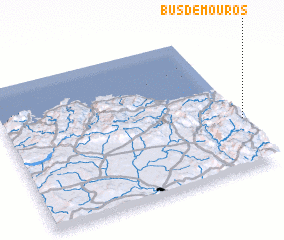 Places with similar names to Busdemouros, Spain ::
// Basti Mirāsi (PK)
Disclaimer :: Information on this page comes without warranty of any kind |
||
|
Where is Busdemouros? Elevation and coordinates ::
Latitude (lat): 43°21'0"N Longitude (lon): 7°0'0"W
Elevation (approx.): 927m (map arrows pan, magnifying glasses zoom) |
||
|
Visiting Busdemouros? Hotel/Accommodation ::
Book a hotel in Busdemouros Travel Guide ::
Buy a travel guide for Spain rental cars ::
car rental offers GPS waypoint ::
download a GPX waypoint (PoI) of Busdemouros for your GPS receiver
|
||