|
search place name
|
||
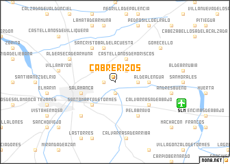
Cabrerizos (Castilla y León, Spain)Cabrerizos is a town in the Castilla y León region of Spain. An overview map of the region around Cabrerizos is displayed below.
regional and 3d topo map of Cabrerizos, Spain ::
Cabrerizos airports ::
The nearest airport is SLM - Salamanca, located 8.9 km south east of Cabrerizos.
Other airports nearby include VLL - Valladolid (101.8 km north east), BGC - Braganca (134.2 km north west), Nearby towns ::
Naharros del Rio (1.9km south) //
La Granja (1.4km west) //
Moriscos (2.3km north east) //
La Flecha (2.8km east) //
Villares de la Reina (3.4km north west) //
Castellanos de Moriscos (4.0km north) //
Santa Marta de Tormes (4.6km south west) //
Aldealengua (4.2km east) //
Salamanca (4.6km south west) //
San Cristóbal de la Cuesta (5.7km north) //
Calvarrasa de Abajo (5.6km south east) //
Pelabravo (6.2km south east) //
Monterrubio de Armuña (6.2km north west) //
Carbajosa de la Sagrada (7.0km south west) //
Aldeaseca de Armuña (6.7km north west) //
Gomecello (7.9km north east) //
[all distances 'as the bird flies' and approximate] 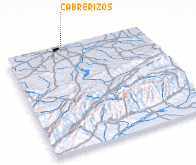 Places with similar names to Cabrerizos, Spain ::
// Cabrerizas (ES)
Disclaimer :: Information on this page comes without warranty of any kind |
||
|
Where is Cabrerizos? Elevation and coordinates ::
Latitude (lat): 40°59'0"N Longitude (lon): 5°36'0"W
Elevation (approx.): 845m (map arrows pan, magnifying glasses zoom) |
||
|
Visiting Cabrerizos? Hotel/Accommodation ::
Book a hotel in Cabrerizos Travel Guide ::
Buy a travel guide for Spain rental cars ::
car rental offers GPS waypoint ::
download a GPX waypoint (PoI) of Cabrerizos for your GPS receiver
|
||