|
search place name
|
||
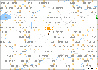
Calo (Galicia, Spain)Calo is a town in the Galicia region of Spain. An overview map of the region around Calo is displayed below.
regional and 3d topo map of Calo, Spain ::
Calo airports ::
The nearest airport is SCQ - Santiago, located 15.4 km north east of Calo.
Other airports nearby include LCG - La Coruna A Coruna (54.7 km north), VGO - Vigo (66.9 km south), OPO - Porto (176.3 km south), VRL - Vila Real (187.3 km south east), Nearby towns ::
Viduido (1.9km north) //
Cacheiras (2.7km east) //
Laraño (3.7km north) //
Recesende (3.3km south east) //
Luou (3.9km south) //
Bugallido (3.3km north west) //
Conjo (4.6km north east) //
Villestro (5.7km north) //
Ortoño (4.5km north west) //
Santiago de Compostela (6.2km north east) //
Rarís (6.2km south east) //
Reyes (6.2km south east) //
Ramallosa (5.5km south east) //
Lampay (6.2km south west) //
Rumille (7.4km south) //
Figueiras (7.4km north) //
Bastavales (5.4km west) //
Eijo (5.7km east) //
Oza (6.9km south east) //
Lucí (6.9km south east) //
Cruces (6.9km south west) //
Covas (6.9km north west) //
Ribasar (6.6km south west) //
Vilariño (7.8km south east) //
Quintáns (8.5km north west) //
Amés (8.5km north west) //
[all distances 'as the bird flies' and approximate] 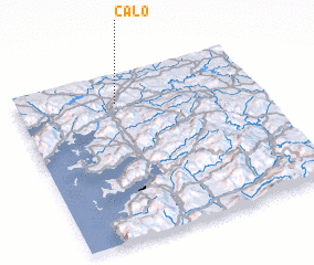 Places with similar names to Calo, Spain ::
Disclaimer :: Information on this page comes without warranty of any kind |
||
|
Where is Calo? Elevation and coordinates ::
Latitude (lat): 42°50'0"N Longitude (lon): 8°35'0"W
Elevation (approx.): 225m (map arrows pan, magnifying glasses zoom) |
||
|
Visiting Calo? Hotel/Accommodation ::
Book a hotel in Calo Travel Guide ::
Buy a travel guide for Spain rental cars ::
car rental offers GPS waypoint ::
download a GPX waypoint (PoI) of Calo for your GPS receiver
|
||