|
search place name
|
||
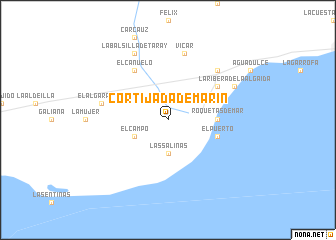
Cortijada de Marín (Andalucía, Spain)Cortijada de Marín is a town in the Andalucía region of Spain. An overview map of the region around Cortijada de Marín is displayed below.
regional and 3d topo map of Cortijada de Marín, Spain ::
Cortijada de Marín airports ::
The nearest airport is LEI - Almeria, located 26.4 km east of Cortijada de Marín.
Other airports nearby include GRX - Granada Armilla (96.8 km north west), GRX - Granada (110.8 km north west), AGP - Malaga (165.5 km west), MLN - Melilla (167.3 km south), Nearby towns ::
Las Salinas (3.7km south) //
El Campo (3.5km south west) //
Roquetas de Mar (4.5km east) //
El Puerto (4.8km south east) //
Algaida (5.8km north east) //
Casablanca (6.3km north west) //
El Cañuelo (6.3km north west) //
Vícar (7.6km north) //
El Algarrobal (6.2km west) //
Las Hortichuelas (7.1km north east) //
La Balsilla de Taray (8.0km north) //
La Ribera de la Algaida (7.0km north east) //
El Campillo del Moro (7.0km north east) //
[all distances 'as the bird flies' and approximate] 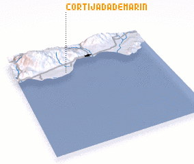 Places with similar names to Cortijada de Marín, Spain :: Disclaimer :: Information on this page comes without warranty of any kind |
||
|
Where is Cortijada de Marín? Elevation and coordinates ::
Latitude (lat): 36°46'0"N Longitude (lon): 2°39'0"W
Elevation (approx.): 29m (map arrows pan, magnifying glasses zoom) |
||
|
Visiting Cortijada de Marín? Hotel/Accommodation ::
Book a hotel in Cortijada de Marín Travel Guide ::
Buy a travel guide for Spain rental cars ::
car rental offers GPS waypoint ::
download a GPX waypoint (PoI) of Cortijada de Marín for your GPS receiver
|
||