|
search place name
|
||
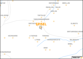
Grisel (Aragón, Spain)Grisel is a town in the Aragón region of Spain. An overview map of the region around Grisel is displayed below.
regional and 3d topo map of Grisel, Spain ::
Grisel airports ::
The nearest airport is ZAZ - Zaragoza Ab, located 61.7 km east of Grisel.
Other airports nearby include PNA - Pamplona (100.6 km north), VIT - Vitoria (139.3 km north west), EAS - San Sebastian (165.6 km north), BIQ - Biarritz-bayonne Anglet (178.8 km north), Nearby towns ::
Santa Cruz de Moncayo (2.3km north west) //
Tarazona de Aragón (3.7km north) //
Trasmoz (4.0km south) //
Torrellas (4.6km north west) //
Lituénigo (4.6km south west) //
Tórtoles (5.6km north) //
Los Fayos (4.5km north west) //
Litago (5.7km south) //
Cunchillos (5.6km north east) //
San Martín de Moncayo (5.6km south west) //
Vera de Moncayo (6.9km south east) //
Vierlas (8.5km north east) //
[all distances 'as the bird flies' and approximate] 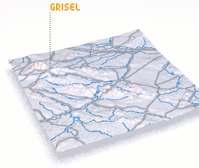 Places with similar names to Grisel, Spain ::
Disclaimer :: Information on this page comes without warranty of any kind |
||
|
Where is Grisel? Elevation and coordinates ::
Latitude (lat): 41°52'0"N Longitude (lon): 1°44'0"W
Elevation (approx.): 733m (map arrows pan, magnifying glasses zoom) |
||
|
Visiting Grisel? Hotel/Accommodation ::
Book a hotel in Grisel Travel Guide ::
Buy a travel guide for Spain rental cars ::
car rental offers GPS waypoint ::
download a GPX waypoint (PoI) of Grisel for your GPS receiver
|
||