|
search place name
|
||
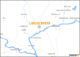
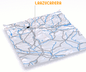
La Azucarera (Navarra, Spain)La Azucarera is a town in the Navarra region of Spain. An overview map of the region around La Azucarera is displayed below.
regional and 3d topo map of La Azucarera, Spain ::
La Azucarera airports ::
The nearest airport is PNA - Pamplona, located 49.0 km north of La Azucarera.
Other airports nearby include ZAZ - Zaragoza Ab (93.7 km south east), VIT - Vitoria (101.7 km north west), EAS - San Sebastian (113.8 km north), BIQ - Biarritz-bayonne Anglet (127.3 km north), Nearby towns ::
 Places with similar names to La Azucarera, Spain ::
// La Sagrera (ES)
Disclaimer :: Information on this page comes without warranty of any kind |
||
|
Where is La Azucarera? Elevation and coordinates ::
Latitude (lat): 42°20'0"N Longitude (lon): 1°44'0"W
Elevation (approx.): 293m (map arrows pan, magnifying glasses zoom) |
||
|
Visiting La Azucarera? Hotel/Accommodation ::
Book a hotel in La Azucarera Travel Guide ::
Buy a travel guide for Spain rental cars ::
car rental offers GPS waypoint ::
download a GPX waypoint (PoI) of La Azucarera for your GPS receiver
|
||