|
search place name
|
||
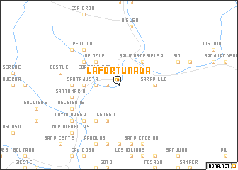
La Fortunada (Aragón, Spain)La Fortunada is a town in the Aragón region of Spain. An overview map of the region around La Fortunada is displayed below.
regional and 3d topo map of La Fortunada, Spain ::
La Fortunada airports ::
The nearest airport is LDE - Tarbes Lourdes, located 71.8 km north of La Fortunada.
Other airports nearby include LEU - Seo De Urgel (102.2 km east), PUF - Pau Pyrenees (105.1 km north west), LRH - La Rochelle Lherm (132.2 km north east), ZAZ - Zaragoza Ab (142.1 km south west), Nearby towns ::
Badaín (1.4km west) //
Tella (2.3km north west) //
Hospital (2.7km west) //
Cortalaviña (3.3km north west) //
Salinas de Bielsa (4.6km north east) //
Arinzué (4.6km north west) //
Lamiana (4.6km north west) //
Saravillo (4.1km east) //
Santa Justa (4.1km west) //
Ceresa (5.7km south) //
Laspuña (6.2km south west) //
Estaronillo (5.5km north west) //
Puértolas (5.5km west) //
Santa María (5.8km west) //
Escalona (6.9km south west) //
Revilla (6.9km north west) //
Belsierre (6.6km south west) //
Puyarruego (7.8km south west) //
Escuaín (7.8km north west) //
Muro de Bellas (9.2km south west) //
[all distances 'as the bird flies' and approximate] 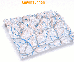 Places with similar names to La Fortunada, Spain ::
// La Fortunata (MX)
// La Vertiente (AR)
Disclaimer :: Information on this page comes without warranty of any kind |
||
|
Where is La Fortunada? Elevation and coordinates ::
Latitude (lat): 42°33'0"N Longitude (lon): 0°12'0"W
Elevation (approx.): 767m (map arrows pan, magnifying glasses zoom) |
||
|
Visiting La Fortunada? Hotel/Accommodation ::
Book a hotel in La Fortunada Travel Guide ::
Buy a travel guide for Spain rental cars ::
car rental offers GPS waypoint ::
download a GPX waypoint (PoI) of La Fortunada for your GPS receiver
|
||