|
search place name
|
||
La Piedra del Zahor (Andalucía, Spain)La Piedra del Zahor is a town in the Andalucía region of Spain. An overview map of the region around La Piedra del Zahor is displayed below.
regional and 3d topo map of La Piedra del Zahor, Spain ::

La Piedra del Zahor airports ::
The nearest airport is LEI - Almeria, located 53.1 km south west of La Piedra del Zahor.
Other airports nearby include MJV - Murcia San Javier (128.9 km north east), GRX - Granada Armilla (134.4 km west), GRX - Granada (146.3 km west), ALC - Alicante (177.6 km north east), Nearby towns ::
Los Utreras (0.0km north) //
La Tía Lucía (1.9km south) //
El Barranco del Infierno (2.4km north west) //
La Fuente del Tío Molina (3.5km north west) //
Albánchez (4.4km west) //
Los Braulios (5.6km south) //
La Breña (5.8km south) //
La Yedra (5.8km south east) //
Los Jarales (7.4km south) //
Almanzora (7.4km north) //
Los Hernández (8.1km south east) //
Apeadero (8.6km north east) //
Cantoria (8.6km north west) //
Lubrín (9.5km south east) //
Arboleas (9.5km north east) //
El Arroyo Aceituno (9.5km north east) //
[all distances 'as the bird flies' and approximate] 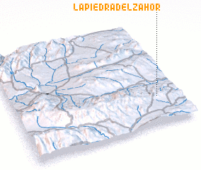 Places with similar names to La Piedra del Zahor, Spain :: Disclaimer :: Information on this page comes without warranty of any kind |
||
|
Where is La Piedra del Zahor? Elevation and coordinates ::
Latitude (lat): 37°17'0"N Longitude (lon): 2°8'0"W
Elevation (approx.): 525m (map arrows pan, magnifying glasses zoom) |
||
|
Visiting La Piedra del Zahor? Hotel/Accommodation ::
Book a hotel in La Piedra del Zahor Travel Guide ::
Buy a travel guide for Spain rental cars ::
car rental offers GPS waypoint ::
download a GPX waypoint (PoI) of La Piedra del Zahor for your GPS receiver
|
||