|
search place name
|
||
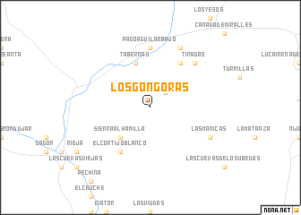
Los Góngoras (Andalucía, Spain)Los Góngoras is a town in the Andalucía region of Spain. An overview map of the region around Los Góngoras is displayed below.
regional and 3d topo map of Los Góngoras, Spain ::
Los Góngoras airports ::
The nearest airport is LEI - Almeria, located 17.3 km south of Los Góngoras.
Other airports nearby include GRX - Granada Armilla (113.8 km west), GRX - Granada (127.1 km west), MJV - Murcia San Javier (162.3 km north east), MLN - Melilla (198.1 km south), Nearby towns ::
Joluque (2.4km north east) //
Sierra Alhamilla (4.7km south west) //
Tabernas (5.8km north) //
El Cortijo Blanco (6.3km south west) //
El Chorrillo (6.3km south west) //
Marchante (6.3km north east) //
Pago Aguilar Bajo (7.4km north) //
Tinadas (7.1km north east) //
Las Mañicas (7.0km south east) //
Espoliz (8.0km north) //
[all distances 'as the bird flies' and approximate] 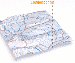 Places with similar names to Los Góngoras, Spain ::
// Los Góngoras (CO)
// Los Congrios (VE)
Disclaimer :: Information on this page comes without warranty of any kind |
||
|
Where is Los Góngoras? Elevation and coordinates ::
Latitude (lat): 37°0'0"N Longitude (lon): 2°22'0"W
Elevation (approx.): 957m (map arrows pan, magnifying glasses zoom) |
||
|
Visiting Los Góngoras? Hotel/Accommodation ::
Book a hotel in Los Góngoras Travel Guide ::
Buy a travel guide for Spain rental cars ::
car rental offers GPS waypoint ::
download a GPX waypoint (PoI) of Los Góngoras for your GPS receiver
|
||