|
search place name
|
||
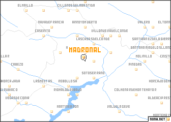
Madroñal (Castilla y León, Spain)Madroñal is a town in the Castilla y León region of Spain. An overview map of the region around Madroñal is displayed below.
regional and 3d topo map of Madroñal, Spain ::
Madroñal airports ::
The nearest airport is SLM - Salamanca, located 71.1 km north east of Madroñal.
Other airports nearby include BGC - Braganca (164.0 km north), VRL - Vila Real (167.0 km north west), VLL - Valladolid (170.5 km north east), BJZ - Badajoz Talavera La Real (187.0 km south), Nearby towns ::
Monforte de la Sierra (1.9km north) //
Mogarraz (1.9km north) //
Cepeda (1.4km east) //
Las Casas del Conde (4.0km north) //
Sotoserrano (4.0km south) //
Herguijuela de la Sierra (4.0km south) //
Miranda del Castañar (4.6km north east) //
La Alberca (4.6km north west) //
San Martín del Castañar (5.7km north) //
Rebollosa (6.2km south west) //
Sequeros (6.2km north east) //
Arroyomuerto (7.4km north) //
Cabaloria (7.5km south) //
Villanueva del Conde (7.0km north east) //
Ríomalo de Abajo (7.9km south) //
Garcibuey (7.9km north east) //
Nava de Francia (9.3km north west) //
[all distances 'as the bird flies' and approximate] 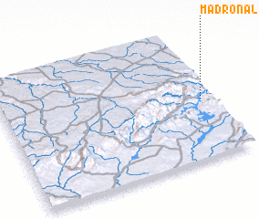 Places with similar names to Madroñal, Spain ::
Disclaimer :: Information on this page comes without warranty of any kind |
||
|
Where is Madroñal? Elevation and coordinates ::
Latitude (lat): 40°28'0"N Longitude (lon): 6°3'0"W
Elevation (approx.): 634m (map arrows pan, magnifying glasses zoom) |
||
|
Visiting Madroñal? Hotel/Accommodation ::
Book a hotel in Madroñal Travel Guide ::
Buy a travel guide for Spain rental cars ::
car rental offers GPS waypoint ::
download a GPX waypoint (PoI) of Madroñal for your GPS receiver
|
||