|
search place name
|
||
Ordiales (Asturias, Spain)Ordiales is a town in the Asturias region of Spain. An overview map of the region around Ordiales is displayed below.
regional and 3d topo map of Ordiales, Spain ::

Ordiales airports ::
The nearest airport is OVD - Aviles Asturias, located 37.5 km north west of Ordiales.
Other airports nearby include SDR - Santander (145.5 km east), BGC - Braganca (194.9 km south west), VLL - Valladolid (200.1 km south), Nearby towns ::
Careses (0.0km north) //
Atrás (1.9km north) //
Ceñal (1.9km north) //
Collada (1.9km north) //
Marcenado (1.9km south) //
El Fresno (2.3km north east) //
Lugarín (2.3km south west) //
Vega de Poja (2.3km south west) //
Aramil de Arriba (2.3km south east) //
Aveno (2.3km south east) //
Muncó (2.7km west) //
Zalci (3.7km north) //
Quintana (3.7km north) //
Carcedo (3.7km north) //
La Rimada (2.7km east) //
Miyares (2.7km east) //
Aramil (3.7km south) //
Muñó (3.3km north west) //
Otero (3.3km north west) //
Rebollar (3.3km south west) //
Santa Eulalia (3.9km north) //
Baldornón (3.9km north) //
Vigil (3.9km south) //
Villanueva (3.3km south east) //
Camino (3.9km south) //
Argañoso (4.6km north east) //
Negales (4.6km south west) //
Corros (4.6km south east) //
Collado (4.6km south east) //
[all distances 'as the bird flies' and approximate] 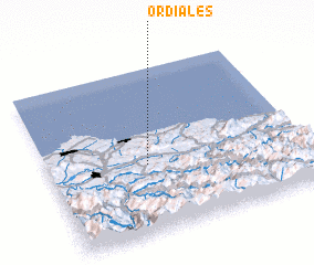
Disclaimer :: Information on this page comes without warranty of any kind |
||
|
Where is Ordiales? Elevation and coordinates ::
Latitude (lat): 43°25'0"N Longitude (lon): 5°37'0"W
Elevation (approx.): 276m (map arrows pan, magnifying glasses zoom) |
||
|
Visiting Ordiales? Hotel/Accommodation ::
Book a hotel in Ordiales Travel Guide ::
Buy a travel guide for Spain rental cars ::
car rental offers GPS waypoint ::
download a GPX waypoint (PoI) of Ordiales for your GPS receiver
|
||