|
search place name
|
||
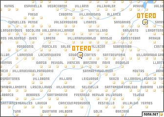
Otero (Asturias, Spain)Otero is a town in the Asturias region of Spain. An overview map of the region around Otero is displayed below.
regional and 3d topo map of Otero, Spain ::
Otero airports ::
The nearest airport is OVD - Aviles Asturias, located 25.7 km north east of Otero.
Other airports nearby include BGC - Braganca (173.9 km south), VLL - Valladolid (218.1 km south east), Nearby towns ::
Castañedo (1.9km south) //
Ovanes (1.9km south) //
Cortés (1.3km east) //
Godán (1.3km west) //
Ablaneda (1.3km west) //
La Sala (1.9km north) //
Bárzana (2.3km south east) //
Viescas (2.3km south west) //
Mallecín (2.3km north west) //
Cermoño (2.7km east) //
Villamar de Abajo (3.7km north) //
Álava (3.3km south east) //
Villazón (3.3km north east) //
Villarraba (3.3km north east) //
Monteagudo (3.3km north east) //
Soto de los Infantes (3.3km south west) //
Camuño (3.9km north) //
Salas (3.3km north west) //
Poles (3.3km north west) //
Acellana (3.3km north west) //
San Martín (3.9km north) //
San Martín de Lodón (4.6km south east) //
Oviñana (4.6km south east) //
Loris (4.6km north east) //
Planadera (4.0km east) //
Borreras (4.0km east) //
Fenigonte (5.6km north) //
Leiguarda (5.7km south) //
Pevidal (4.4km south west) //
[all distances 'as the bird flies' and approximate] 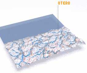 Places with similar names to Otero, Spain ::
Disclaimer :: Information on this page comes without warranty of any kind |
||
|
Where is Otero? Elevation and coordinates ::
Latitude (lat): 43°23'0"N Longitude (lon): 6°14'0"W
Elevation (approx.): 361m (map arrows pan, magnifying glasses zoom) |
||
|
Visiting Otero? Hotel/Accommodation ::
Book a hotel in Otero Travel Guide ::
Buy a travel guide for Spain rental cars ::
car rental offers GPS waypoint ::
download a GPX waypoint (PoI) of Otero for your GPS receiver
|
||