|
search place name
|
||
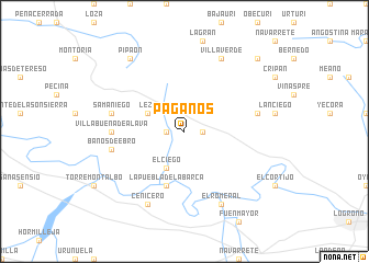
Páganos (País Vasco, Spain)Páganos is a town in the País Vasco region of Spain. An overview map of the region around Páganos is displayed below.
regional and 3d topo map of Páganos, Spain ::
Páganos airports ::
The nearest airport is VIT - Vitoria, located 38.4 km north of Páganos.
Other airports nearby include PNA - Pamplona (81.9 km east), BIO - Bilbao (87.2 km north), EAS - San Sebastian (111.3 km north east), BIQ - Biarritz-bayonne Anglet (134.6 km north east), Nearby towns ::
Laguardia (1.4km east) //
Navaridas (1.4km west) //
Elciego (4.0km south) //
Leza (3.3km north west) //
Lapuebla de Labarca (5.7km south) //
Villabuena de Álava (5.5km west) //
Baños de Ebro (5.8km west) //
Samaniego (5.8km west) //
Elvillar (5.8km east) //
Cenicero (7.9km south) //
El Romeral (7.9km south) //
Villaverde (7.9km north) //
Pipaón (8.5km north west) //
Vìllafría (9.2km north east) //
[all distances 'as the bird flies' and approximate] 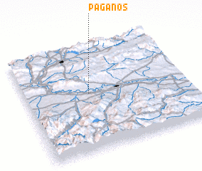 Places with similar names to Páganos, Spain ::
Disclaimer :: Information on this page comes without warranty of any kind |
||
|
Where is Páganos? Elevation and coordinates ::
Latitude (lat): 42°33'0"N Longitude (lon): 2°36'0"W
Elevation (approx.): 522m (map arrows pan, magnifying glasses zoom) |
||
|
Visiting Páganos? Hotel/Accommodation ::
Book a hotel in Páganos Travel Guide ::
Buy a travel guide for Spain rental cars ::
car rental offers GPS waypoint ::
download a GPX waypoint (PoI) of Páganos for your GPS receiver
|
||