|
search place name
|
||
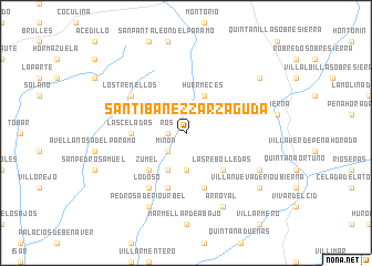
Santibáñez-Zarzaguda (Castilla y León, Spain)Santibáñez-Zarzaguda is a town in the Castilla y León region of Spain. An overview map of the region around Santibáñez-Zarzaguda is displayed below.
regional and 3d topo map of Santibáñez-Zarzaguda, Spain ::
Santibáñez-Zarzaguda airports ::
The nearest airport is VIT - Vitoria, located 97.5 km north east of Santibáñez-Zarzaguda.
Other airports nearby include SDR - Santander (104.9 km north), BIO - Bilbao (115.5 km north east), VLL - Valladolid (123.6 km south west), EAS - San Sebastian (189.4 km north east), Nearby towns ::
Ros (1.4km west) //
Miñón (2.3km south west) //
Mansilla de Burgos (3.7km south) //
La Nuez de Abajo (4.0km south) //
Huérmeces (4.0km north) //
Las Rebolledas (4.6km south east) //
Zumel (4.6km south west) //
Las Celadas (4.1km west) //
Marmellar de Arriba (5.7km south) //
La Nuez de Arriba (5.7km south) //
Lodoso (6.2km south west) //
Los Tremellos (5.5km north west) //
Celadilla-Sotobrín (6.6km south east) //
Arroyal (7.9km south) //
Pedrosa de Río-Urbel (7.9km south) //
Villanueva de Río-Ubierna (7.8km south east) //
Castrillo de Rucios (7.8km north east) //
[all distances 'as the bird flies' and approximate] 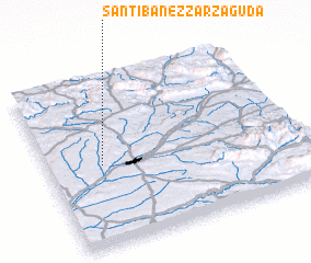 Places with similar names to Santibáñez-Zarzaguda, Spain :: Disclaimer :: Information on this page comes without warranty of any kind |
||
|
Where is Santibáñez-Zarzaguda? Elevation and coordinates ::
Latitude (lat): 42°29'0"N Longitude (lon): 3°47'0"W
Elevation (approx.): 867m (map arrows pan, magnifying glasses zoom) |
||
|
Visiting Santibáñez-Zarzaguda? Hotel/Accommodation ::
Book a hotel in Santibáñez-Zarzaguda Travel Guide ::
Buy a travel guide for Spain rental cars ::
car rental offers GPS waypoint ::
download a GPX waypoint (PoI) of Santibáñez-Zarzaguda for your GPS receiver
|
||