|
search place name
|
||
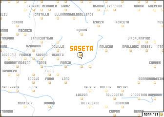
Sáseta (Castilla y León, Spain)Sáseta is a town in the Castilla y León region of Spain. An overview map of the region around Sáseta is displayed below.
regional and 3d topo map of Sáseta, Spain ::
Sáseta airports ::
The nearest airport is VIT - Vitoria, located 21.8 km north west of Sáseta.
Other airports nearby include BIO - Bilbao (70.2 km north), PNA - Pamplona (76.9 km east), EAS - San Sebastian (96.1 km north east), BIQ - Biarritz-bayonne Anglet (120.1 km north east), Nearby towns ::
Urarte (1.9km south) //
Marquínez (2.3km south east) //
Páriza (3.3km south west) //
Ogueta (4.1km west) //
Marauri (4.1km west) //
Oquina (5.6km north) //
Aguillo (4.5km north west) //
Arlucea (4.5km north east) //
Ajarte (5.5km north west) //
Laño (6.2km south west) //
Albaina (5.5km south west) //
Bajauri (7.5km south) //
Izarza (7.9km north) //
Fuidio (6.6km south west) //
Faido (7.8km south west) //
Obécuri (8.5km south east) //
[all distances 'as the bird flies' and approximate] 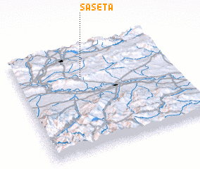 Places with similar names to Sáseta, Spain ::
Disclaimer :: Information on this page comes without warranty of any kind |
||
|
Where is Sáseta? Elevation and coordinates ::
Latitude (lat): 42°43'0"N Longitude (lon): 2°35'0"W
Elevation (approx.): 745m (map arrows pan, magnifying glasses zoom) |
||
|
Visiting Sáseta? Hotel/Accommodation ::
Book a hotel in Sáseta Travel Guide ::
Buy a travel guide for Spain rental cars ::
car rental offers GPS waypoint ::
download a GPX waypoint (PoI) of Sáseta for your GPS receiver
|
||