|
search place name
|
||
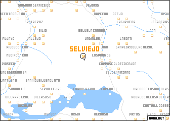
Selviejo (Cantabria, Spain)Selviejo is a town in the Cantabria region of Spain. An overview map of the region around Selviejo is displayed below.
regional and 3d topo map of Selviejo, Spain ::
Selviejo airports ::
The nearest airport is SDR - Santander, located 37.5 km north of Selviejo.
Other airports nearby include BIO - Bilbao (86.1 km east), VIT - Vitoria (101.5 km east), VLL - Valladolid (172.3 km south west), Nearby towns ::
San Miguel de Luena (2.7km east) //
Los Pandos (2.7km east) //
Urdiales (3.9km north) //
Tablado (3.3km north east) //
Carrascal de San Miguel (3.3km south east) //
Bustasur (4.6km north east) //
Llano (4.1km east) //
Sel de la Carrera (5.7km north) //
Bollacín (4.5km south east) //
La Población (7.4km south) //
Carrascal de Cocejón (5.7km east) //
Aldano (6.6km north east) //
Sel de Manzano (6.6km south east) //
Entrambasmestas (7.9km north) //
Lanchares (7.9km south) //
Servillas (8.5km south west) //
Corconte (8.5km south east) //
Servillejas (9.2km south west) //
[all distances 'as the bird flies' and approximate] 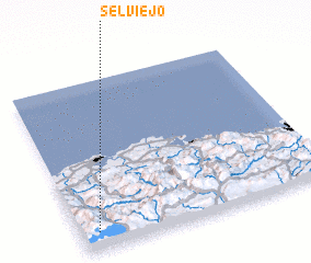 Places with similar names to Selviejo, Spain ::
Disclaimer :: Information on this page comes without warranty of any kind |
||
|
Where is Selviejo? Elevation and coordinates ::
Latitude (lat): 43°6'0"N Longitude (lon): 3°56'0"W
Elevation (approx.): 816m (map arrows pan, magnifying glasses zoom) |
||
|
Visiting Selviejo? Hotel/Accommodation ::
Book a hotel in Selviejo Travel Guide ::
Buy a travel guide for Spain rental cars ::
car rental offers GPS waypoint ::
download a GPX waypoint (PoI) of Selviejo for your GPS receiver
|
||