|
search place name
|
||
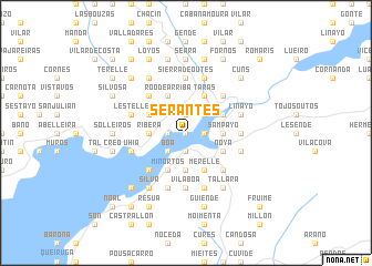
Serantes (Galicia, Spain)Serantes is a town in the Galicia region of Spain. An overview map of the region around Serantes is displayed below.
regional and 3d topo map of Serantes, Spain ::
Serantes airports ::
The nearest airport is SCQ - Santiago, located 42.4 km east of Serantes.
Other airports nearby include VGO - Vigo (67.5 km south), LCG - La Coruna A Coruna (71.0 km north east), OPO - Porto (173.5 km south), VRL - Vila Real (196.3 km south east), Nearby towns ::
Tavilo (0.0km north) //
Esteiro (1.4km west) //
Obre (1.9km south) //
Taramancos (1.9km south) //
Carreira (1.9km south) //
Barquiña (1.4km east) //
Barro (1.4km east) //
Rates (1.9km north) //
Viro (1.9km north) //
Bendimón (1.9km north) //
Outeiro (1.9km north) //
Boa (2.3km south west) //
Ceilán (2.3km north east) //
Baya (3.7km south) //
Argalo (3.7km south) //
Choura (3.7km south) //
Siavo (2.7km west) //
Sabardes (2.7km west) //
Ribera (2.7km west) //
Sampayo (2.7km east) //
Béjeres (2.7km east) //
Miñortos (3.9km south) //
Roo de Abajo (3.9km north) //
Roo de Arriba (3.9km north) //
Cures (3.9km north) //
Brion de Abajo (3.9km north) //
Brion de Arriba (3.9km north) //
Merelle (3.9km south) //
Major (3.3km north west) //
[all distances 'as the bird flies' and approximate] 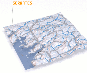 Places with similar names to Serantes, Spain ::
Disclaimer :: Information on this page comes without warranty of any kind |
||
|
Where is Serantes? Elevation and coordinates ::
Latitude (lat): 42°48'0"N Longitude (lon): 8°55'0"W
Elevation (approx.): 27m (map arrows pan, magnifying glasses zoom) |
||
|
Visiting Serantes? Hotel/Accommodation ::
Book a hotel in Serantes Travel Guide ::
Buy a travel guide for Spain rental cars ::
car rental offers GPS waypoint ::
download a GPX waypoint (PoI) of Serantes for your GPS receiver
|
||