|
search place name
|
||
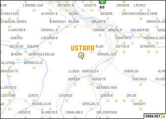
Ustara (País Vasco, Spain)Ustara is a town in the País Vasco region of Spain. An overview map of the region around Ustara is displayed below.
regional and 3d topo map of Ustara, Spain ::
Ustara airports ::
The nearest airport is BIO - Bilbao, located 13.5 km north of Ustara.
Other airports nearby include VIT - Vitoria (38.1 km south east), SDR - Santander (75.6 km west), EAS - San Sebastian (96.1 km east), PNA - Pamplona (115.8 km south east), Nearby towns ::
Zollo-Elejalde (2.3km north east) //
Marquio (3.3km north east) //
Areta (3.9km south) //
Llodio (3.9km south) //
Aracaldo (3.9km south) //
Miravalles (4.1km east) //
Anuncibay (5.7km south) //
Gardea (5.7km south) //
Ayazaza (5.7km south) //
Montefuerte (6.2km north east) //
La Peña (6.2km north east) //
Murueta (6.2km south east) //
Bilbao (7.5km north) //
Arrigorriaga (5.7km east) //
Alonsótegui (7.9km north) //
Bolueta (7.9km north) //
La Cuadra (6.6km north west) //
Bengoechea (8.5km south east) //
Zaramillo (7.8km north west) //
Basconia (7.8km north east) //
Amézola (7.8km north east) //
Arizgoiti (7.8km north east) //
Iráuregui (8.4km north west) //
Lequizamón (9.2km north east) //
[all distances 'as the bird flies' and approximate] 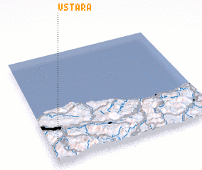 Places with similar names to Ustara, Spain ::
Disclaimer :: Information on this page comes without warranty of any kind |
||
|
Where is Ustara? Elevation and coordinates ::
Latitude (lat): 43°11'0"N Longitude (lon): 2°57'0"W
Elevation (approx.): 220m (map arrows pan, magnifying glasses zoom) |
||
|
Visiting Ustara? Hotel/Accommodation ::
Book a hotel in Ustara Travel Guide ::
Buy a travel guide for Spain rental cars ::
car rental offers GPS waypoint ::
download a GPX waypoint (PoI) of Ustara for your GPS receiver
|
||