|
search place name
|
||
Valdenoceda (Castilla y León, Spain)Valdenoceda is a town in the Castilla y León region of Spain. An overview map of the region around Valdenoceda is displayed below.
regional and 3d topo map of Valdenoceda, Spain ::

Valdenoceda airports ::
The nearest airport is SDR - Santander, located 66.6 km north of Valdenoceda.
Other airports nearby include VIT - Vitoria (71.6 km east), BIO - Bilbao (75.3 km north east), EAS - San Sebastian (157.7 km east), PNA - Pamplona (160.0 km east), Nearby towns ::
Quintana de Valdivielso (0.0km north) //
Puente-Arenas (1.4km east) //
El Almiñé (1.9km south) //
Remolino (3.7km north) //
Santa Olalla de Valdivielso (3.3km south east) //
Incinillas (5.7km north) //
Bisjueces (6.2km north east) //
Toba de Valdivielso (5.5km south east) //
Dobro (6.2km south west) //
Villalaín (7.5km north) //
Quecedo (5.7km east) //
Barruelo (6.6km north east) //
Andino (7.9km north) //
Porquera del Butrón (6.6km south west) //
Población de Valdivielso (6.6km south east) //
Argés (7.8km north west) //
La Aldea (7.8km north east) //
Santa Cruz de Andino (8.5km north east) //
San Martín del Rojo (9.2km north west) //
Villarías (9.2km north east) //
[all distances 'as the bird flies' and approximate] 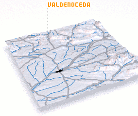 Places with similar names to Valdenoceda, Spain ::
// Felton East (AU)
Disclaimer :: Information on this page comes without warranty of any kind |
||
|
Where is Valdenoceda? Elevation and coordinates ::
Latitude (lat): 42°51'0"N Longitude (lon): 3°36'0"W
Elevation (approx.): 594m (map arrows pan, magnifying glasses zoom) |
||
|
Visiting Valdenoceda? Hotel/Accommodation ::
Book a hotel in Valdenoceda Travel Guide ::
Buy a travel guide for Spain rental cars ::
car rental offers GPS waypoint ::
download a GPX waypoint (PoI) of Valdenoceda for your GPS receiver
|
||