|
search place name
|
||
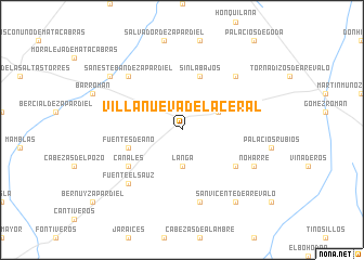
Villanueva del Aceral (Castilla y León, Spain)Villanueva del Aceral is a town in the Castilla y León region of Spain. An overview map of the region around Villanueva del Aceral is displayed below.
regional and 3d topo map of Villanueva del Aceral, Spain ::
Villanueva del Aceral airports ::
The nearest airport is SLM - Salamanca, located 55.6 km west of Villanueva del Aceral.
Other airports nearby include VLL - Valladolid (74.7 km north), MAD - Madrid Barajas (123.8 km south east), TOJ - Madrid Torrejon (132.7 km south east), BGC - Braganca (180.2 km north west), Nearby towns ::
Langa (3.7km south) //
Aldeaseca (3.4km north east) //
Fuentes de Año (4.6km south west) //
Sinlabajos (5.7km north) //
Magazos (5.6km south east) //
Canales (5.6km south west) //
Donjimeno (7.5km south) //
Donvidas (7.0km north east) //
San Esteban de Zapardiel (7.0km north west) //
Fuente el Sauz (7.0km south west) //
Noharre (6.7km south east) //
San Vicente de Arévalo (8.5km south east) //
Castellanos de Zapardiel (7.9km north west) //
[all distances 'as the bird flies' and approximate] 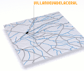 Places with similar names to Villanueva del Aceral, Spain :: Disclaimer :: Information on this page comes without warranty of any kind |
||
|
Where is Villanueva del Aceral? Elevation and coordinates ::
Latitude (lat): 41°2'0"N Longitude (lon): 4°51'0"W
Elevation (approx.): 848m (map arrows pan, magnifying glasses zoom) |
||
|
Visiting Villanueva del Aceral? Hotel/Accommodation ::
Book a hotel in Villanueva del Aceral Travel Guide ::
Buy a travel guide for Spain rental cars ::
car rental offers GPS waypoint ::
download a GPX waypoint (PoI) of Villanueva del Aceral for your GPS receiver
|
||