|
search place name
|
||
Bantry Bay (South Africa)Bantry Bay is a town in South Africa. An overview map of the region around Bantry Bay is displayed below.
regional and 3d topo map of Bantry Bay, South Africa ::

Bantry Bay airports ::
The nearest airport is CPT - Cape Town Intl, located 20.9 km east of Bantry Bay.
Nearby towns ::
Sea Point (0.0km north) //
Clifton (1.9km south) //
Fresnave (1.5km east) //
Tamboerskloof (1.5km east) //
Green Point (1.5km east) //
Gardens (2.4km south east) //
Higgovale (2.4km south east) //
Drieankerbaai (2.4km north east) //
Mouille Point (2.4km north east) //
Camps Bay (3.7km south) //
Malay Quarter (3.1km east) //
Cape Town (3.1km east) //
Schotschekloof (3.1km east) //
Oranjezicht (3.6km south east) //
Vredehoek (3.6km south east) //
Bakoven (5.6km south) //
Woodstock (4.6km east) //
Roggebaai (4.6km east) //
Oudekraal (8.0km south west) //
Glen Dirk (8.7km south east) //
Wynberg Hill (9.6km south east) //
Fernwood (9.6km south east) //
Bishopscourt (9.6km south east) //
[all distances 'as the bird flies' and approximate] 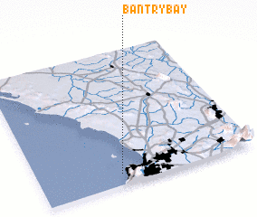 Places with similar names to Bantry Bay, South Africa ::
// Bandarbi (SD)
// Bendirba (NG)
// Bantar 1 (ID)
// Ban Tir (1) (VN)
// Buôn Tur (1) (VN)
// Bønderby (DK)
// Bondarby (FI)
Disclaimer :: Information on this page comes without warranty of any kind |
||
|
Where is Bantry Bay? Elevation and coordinates ::
Latitude (lat): 33°55'0"S Longitude (lon): 18°23'0"E
Elevation (approx.): -32768m (map arrows pan, magnifying glasses zoom) |
||
|
Visiting Bantry Bay? Hotel/Accommodation ::
Book a hotel in Bantry Bay Travel Guide ::
rental cars ::
car rental offers GPS waypoint ::
download a GPX waypoint (PoI) of Bantry Bay for your GPS receiver
|
||