|
search place name
|
||
Koegasbrug (South Africa)Koegasbrug is a town in South Africa. An overview map of the region around Koegasbrug is displayed below.
regional and 3d topo map of Koegasbrug, South Africa ::

Koegasbrug airports ::
The nearest airport is UTN - Upington, located 147.1 km north west of Koegasbrug.
Other airports nearby include SIS - Sishen (195.5 km north), Nearby towns ::
Westerberg (0.0km north) //
Koegasbrug (1.9km north) //
Middel Koegas (4.9km north east) //
[all distances 'as the bird flies' and approximate] 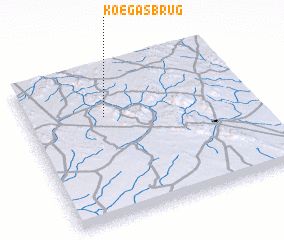 Places with similar names to Koegasbrug, South Africa ::
// Guggisberg (CH)
// Gaxberg (DE)
// Kaaksburg (DE)
// Kuczbork (PL)
// Kuczbork (PL)
// Koegasbrug (ZA)
// Cooksburg (US)
// Coxburg (US)
// Cooksburg (US)
// Cooksburg (US)
Disclaimer :: Information on this page comes without warranty of any kind |
||
|
Where is Koegasbrug? Elevation and coordinates ::
Latitude (lat): 29°19'0"S Longitude (lon): 22°21'0"E
Elevation (approx.): 905m (map arrows pan, magnifying glasses zoom) |
||
|
Visiting Koegasbrug? Hotel/Accommodation ::
Book a hotel in Koegasbrug Travel Guide ::
rental cars ::
car rental offers GPS waypoint ::
download a GPX waypoint (PoI) of Koegasbrug for your GPS receiver
|
||